How Does GPS Find Your Location?
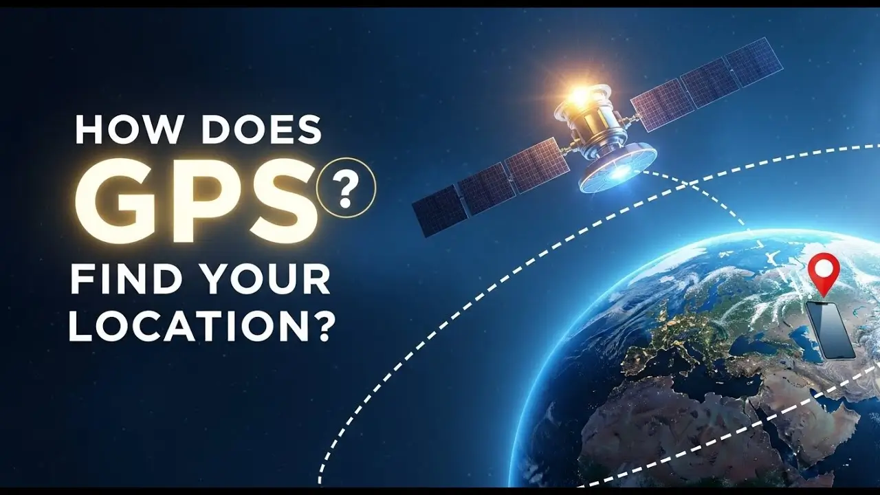
Whether you’re navigating an unfamiliar city, checking how far you’ve run, or just glancing at the little blue dot on a map app, GPS quietly works behind the scenes to figure out exactly where you are, often within just a few meters of accuracy. It feels almost magical that a small device in your pocket can pinpoint your location anywhere on Earth, but the actual process behind it is based on some genuinely clever math and physics, not magic at all.
Let’s break down how GPS actually determines your location, what’s happening between your device and the satellites orbiting far above, and why accuracy sometimes varies depending on where you are.
What GPS Actually Stands For and What It Does
GPS stands for Global Positioning System, a satellite-based navigation system originally developed for military use before becoming available for civilian and commercial use. Today, it powers everything from smartphone maps to airplane navigation, fitness trackers, and countless other location-based services.
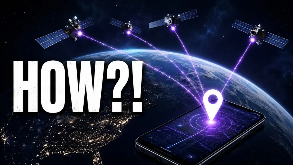
At its core, GPS doesn’t track your device by receiving signals from it. Instead, your device receives signals from satellites and calculates its own position — meaning GPS is fundamentally a one-way, receive-only system from your device’s perspective.
The Basic Building Blocks of GPS
Satellites Orbiting the Earth
A network of satellites orbits the Earth at a specific altitude, positioned so that at any given time and location, your device can typically receive signals from several satellites simultaneously. This network is deliberately designed to ensure enough satellites are visible from virtually anywhere on the planet at any time.
Precise Timing Signals
Each satellite continuously broadcasts a signal containing its exact position and the precise time the signal was sent, using extremely accurate atomic clocks onboard.
Your GPS Receiver
Your smartphone, car navigation system, or dedicated GPS device contains a receiver that picks up these signals and performs the calculations needed to determine your location.
How GPS Calculates Your Location: Trilateration
The core concept behind GPS positioning is called trilateration, and while the underlying math is complex, the basic idea is fairly intuitive once broken down.
Step 1: Measuring Distance to Each Satellite
Since each satellite signal includes the exact time it was sent, and your device knows the exact time it received that signal, your device can calculate how long the signal took to travel. Since radio signals travel at a known, constant speed (the speed of light), your device can convert that travel time into a precise distance between you and that specific satellite.
Step 2: Repeating This With Multiple Satellites
Your device needs signals from at least four satellites to calculate an accurate three-dimensional position (latitude, longitude, and altitude). Each satellite’s calculated distance essentially creates an imaginary sphere around that satellite, with your possible location existing somewhere on that sphere’s surface.
Step 3: Finding the Intersection Point
With enough spheres (from multiple satellites) overlapping, there’s only one point where all of these spheres intersect, which represents your device’s actual location. The more satellites your device can detect and use in this calculation, the more accurate and reliable this intersection point becomes.
Why You Need at Least Four Satellites
Three satellites could theoretically narrow your position down to two possible points, one of which is usually an obviously incorrect location (like deep inside the Earth or far out in space). A fourth satellite helps eliminate this ambiguity and also compensates for tiny timing errors in your device’s less precise internal clock, compared to the atomic clocks used by the satellites themselves.
Why GPS Accuracy Isn’t Always Perfect
GPS positioning is remarkably accurate for most everyday uses, but several factors can affect precision:
Signal Obstruction
Tall buildings, dense forests, tunnels, and indoor spaces can block or weaken satellite signals, sometimes causing your device to rely on fewer satellites or less reliable signal paths, reducing accuracy.
Atmospheric Interference
GPS signals travel through the Earth’s atmosphere, which can slightly bend or delay signals due to varying atmospheric conditions, introducing small timing errors that affect overall accuracy.
Multipath Interference
In urban areas especially, GPS signals can bounce off buildings and other structures before reaching your device, causing the receiver to calculate a slightly incorrect distance based on this indirect signal path.
Satellite Geometry
The specific arrangement of visible satellites relative to your position affects accuracy. Satellites spread widely across the sky generally produce more accurate results than satellites clustered closely together in one part of the sky.
Device Hardware Quality
Not all GPS receivers are created equal. More advanced hardware, often found in dedicated GPS devices or higher-end smartphones, can achieve better accuracy than more basic or older receiver chips.
How Smartphones Improve on Basic GPS Accuracy
Modern smartphones rarely rely on GPS satellites alone. Several additional technologies work together to improve accuracy and speed, particularly in challenging environments like dense cities or indoors:
Assisted GPS (A-GPS)
Your phone can use nearby cell towers to help estimate your rough location almost instantly, then refine that estimate using actual GPS satellite signals once acquired. This significantly speeds up the initial location fix, especially in areas with weaker satellite visibility.
Wi-Fi Positioning
Your device can use the known locations of nearby Wi-Fi networks (based on large databases mapping Wi-Fi router locations) to help estimate your position, particularly useful indoors where GPS signals are weak or unavailable entirely.
Cell Tower Triangulation
Similar to GPS trilateration but using cell towers instead of satellites, this method can provide a rougher location estimate, useful as a backup when satellite signals aren’t available.
Sensor Fusion
Smartphones combine GPS data with other built-in sensors, like accelerometers, gyroscopes, and compasses, to maintain smoother, more continuous location tracking, especially useful for tasks like turn-by-turn navigation.
GPS vs. Other Positioning Technologies
| Technology | How It Works | Best For |
|---|---|---|
| GPS (satellite-based) | Trilateration using satellite signals | Outdoor, wide-area location tracking |
| Wi-Fi Positioning | Matches nearby Wi-Fi networks to known locations | Indoor or dense urban environments |
| Cell Tower Triangulation | Estimates location based on nearby cell towers | Backup positioning, faster initial location fix |
| Bluetooth Beacons | Short-range signals from fixed beacon devices | Very precise indoor positioning (malls, airports) |
Common Misconceptions About GPS
“GPS Tracks You From Space”
In reality, satellites don’t track your specific device at all. Your device receives signals and calculates its own position; the satellites have no direct knowledge of who or where you are unless your device separately shares that information with an app or service.
“GPS Doesn’t Work Without Internet”
While an internet connection can speed up your initial location fix through Assisted GPS, core GPS satellite positioning itself doesn’t require an internet connection or cell signal to function, which is why GPS still works in remote areas without cell coverage.
“More Satellites Always Means Instantly Better Accuracy”
While more visible satellites generally help, factors like signal obstruction, atmospheric conditions, and satellite geometry all still play a meaningful role in the final accuracy, regardless of how many satellites are technically visible.
Frequently Asked Questions
Does GPS work indoors?
Not reliably on its own, since satellite signals struggle to penetrate walls and roofs effectively. Indoor positioning typically relies more heavily on Wi-Fi positioning or Bluetooth beacons instead.
Why does my GPS location sometimes show me in the wrong place?
This is usually caused by signal obstruction, multipath interference from nearby buildings, or temporarily poor satellite geometry, all of which can introduce small inaccuracies into your calculated position.
Do I need an internet connection for GPS to work?
No, core GPS functionality doesn’t require internet access. However, an internet connection can speed up your initial location fix through Assisted GPS and is often needed for map data itself to load.
How accurate is GPS on a typical smartphone?
Under good conditions, most smartphones achieve accuracy within a few meters, though this can vary based on your environment, device hardware, and current satellite visibility.
Can GPS track my location even when an app isn’t open?
Yes, if location permissions are granted for background access, apps can continue receiving location updates even when not actively open, which is why reviewing app location permissions periodically is a good privacy practice.
Conclusion
GPS determines your location through a clever process called trilateration, using precise timing signals from multiple satellites to calculate exactly where you are on Earth. While the underlying technology involves sophisticated physics and engineering, the core concept comes down to measuring distances to several satellites simultaneously and finding the single point where those distances intersect.
Understanding how GPS works also helps explain why accuracy sometimes varies, and why modern smartphones combine satellite positioning with additional technologies like Wi-Fi and cell tower data to provide faster, more reliable location tracking in a wider range of environments. For more clear, practical explanations of the everyday technology you rely on, apkmunna remains a great resource to keep exploring.